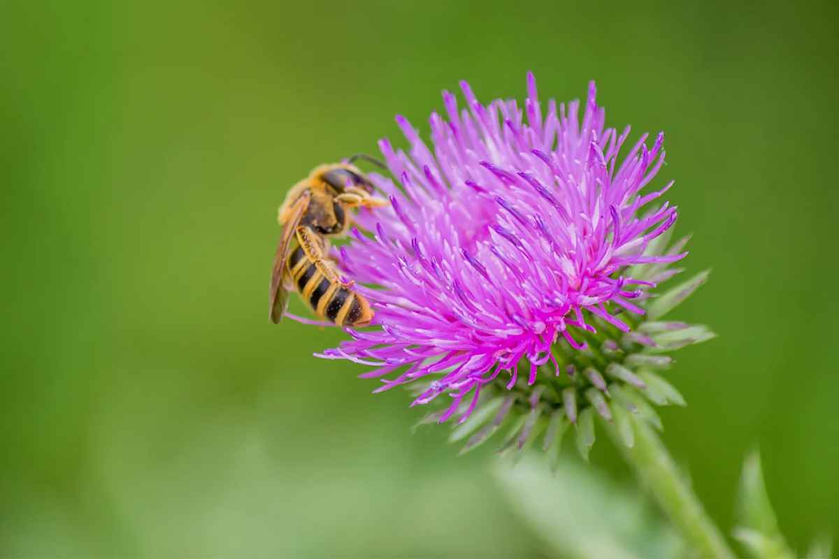
![]() |
![]() |
#1 | |
A Bee's Best Friend
Join Date: Mar 2009
Location: Chicago Illinois USA
|
![]()
Here in Chicago we sit on a continental divide. With the water shed to the west heading into the Mississippi river and floodplain ,south into the gulf waters.
But east the water of the Great Lakes area heads out to the Atlantic Ocean, through the St Lawrence River and Champlain Lake watershed. This is the direction I have been looking. A Nature Conservancy Conservation Report http://east.tnc.org/east-file/64/STL_report.pdf Quote:
St. Lawrence River St. Lawrence River and Seaway Great Lakes Areas of Concern (AoCs): St. Lawrence River | Great Lakes | US EPA map http://www.epa.gov/glnpo/aoc/stlawma...e_Approved.pdf File:Grlakes lawrence map.png - Wikipedia, the free encyclopedia Map of St Lawrence seaway Seaway System New York section and watershed. St. Lawrence River Watershed Map - NYS Dept. of Environmental Conservation Timeline maps st lawrence river map - Google Search |
|
![]() |
![]() |
![]() |
#2 | |||
A Bee's Best Friend
Join Date: Mar 2009
Location: Chicago Illinois USA
|
![]()
Eastern Great Lakes lowland forests
Quote:
Quote:
Quote:
|
|||
![]() |
![]() |
![]() |
#3 |
A Bee's Best Friend
Join Date: Mar 2009
Location: Chicago Illinois USA
|
![]()
Valley Clayplain, clay and fine silt soils of the Champlain Valley that were deposited when the valley was a large lake.
http://www.vtfishandwildlife.com/lib.../Clayplain.pdf Lists of common natives, invasive non native and rare species. |
![]() |
![]() |
![]() |
Tags |
champlain, lake, lawrence, river, watershed |
Thread Tools | |
Display Modes | |
|
|